

© J.H.Mathieson
…. is a fee for service custom
genealogy mapping service which
specializes in producing high quality
maps using state of the art GIS
software.
I bring 30 years of experience teaching
geography, and a background in GIS to
the task of generating mymaps.
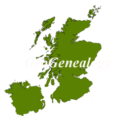
The surname reports for Ulster
and Scotland are built with Civil
Registration and Parish,
boundaries, producing the most
detailed surname distribution
maps on the internet.
I can also produce a Ulster
Surname Atlas for your surname
with individual county
distributions based on both the
1901 Census and the Griffith
Valuation. The distributions use
Parish and District Electoral
Division boundaries to identify
historic settlement patterns for
your surname.
For each Atlas or Report the materials are compiled in a web
module which clients can add to their desktop or upload to
their personal server.
The creation of each project involves personal consultations
with the client. Due to the individual attention given to
reports the process can take several weeks to complete.

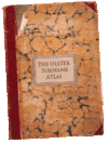
The Ulster
Surname
Atlas…Your
Ulster surname
mapped using the
1901 Census and
Griffith Valuation
by individual
County .


The Census To
Parish Link
Utility…
Links your 1901/11
Ulster census
records with
matching Parish
boundaries
Learn more Here!


GeoGenealogy